


Öffentlich
How should a route show a hill without guessing?
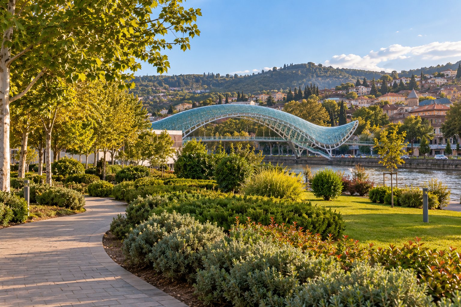
For the Mother of Georgia extension, I would rather say that the approach needs checking than invent a precise walking time or difficulty score. Which detail would help most: elevation, the actual walking path or a shorter riverside alternative? The basic Peace Bridge and Rike Park plan stays separate.
Anmerkungen
The actual path plus a shorter alternative. A time estimate alone would not tell me how demanding it is.
That is useful. Until the approach is checked, I will describe it as an optional extension with unknown effort.